Arizona Fishing Map
Interactive map plus a list of fishing lakes in AZ
Below the map is a list of major fishing lakes in Arizona.
Use the above map to locate these bodies of water and find the best fishing lakes in Arizona. Visit the Best Places To Fish in Arizona page to find which lakes are best for various fish species.
Alamo Lake is a 2,700-acre lake in the southwest part of the state, 38 miles north of Wenden, AZ.
Apache Lake is a 2,600-acre lake in the central part of the state, 25 miles northeast of Apache Junction, AZ.
Ashurst Lake is a 230-acre lake in the central part of the state, 15 miles southeast of Flagstaff, AZ.
Bartlett Lake is a 2,800-acre lake in the central part of the state, 18 miles northeast of Cave Creek, AZ.
Bear Canyon Lake is a 60-acre lake in central Arizona, 16 miles northeast of Payson.
Big Lake is a 450-acre lake in the east-central part of the state, 10 miles south of Greer, AZ.
Black Canyon Lake is a 75-acre lake in central AZ, 5 miles west of Heber-Overgard.
Blue Ridge Reservoir is a 70-acre lake in the central part of the state, 15 miles northeast of Strawberry.
Canyon Lake is a 950-acre lake in the central part of the state, 10 miles east of Apache Junction, AZ.
Chevelon Canyon Lake is a 200-acre lake in the central part of the state, 40 miles northeast of Payson, AZ.
Fool Hollow Lake is a 150-acre lake in the east-central part of the state at Show Low, AZ.
Goldwater Lake is a 15-acre lake in central AZ, 4 miles south of Prescott.
Hawley Lake is a 300-acre lake in east-central part of AZ, 10 miles southeast of McNary, AZ.
Horseshoe Lake is a 2,200-acre reservoir in central AZ, 40 miles northeast of Carefree, AZ.
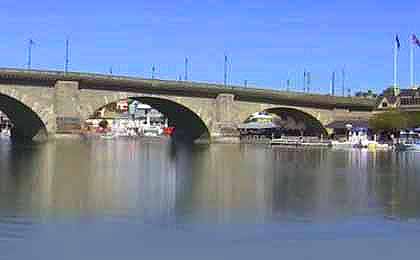
Lake Havasu is a 20,000-acre lake on the western border of the state, at Lake Havasu City, AZ.
Lake Mary is a 600-acre lake in the central part of the state, 15 miles southeast of Flagstaff, AZ.
Lake Mead is a 160,000-acre lake on the western border of the state, at Henderson, NV.
Lake Mohave is a 28,800-acre lake on the western border of the state, at Bullhead, AZ.
Lake Pleasant is a 10,000-acre lake in the central part of the state, 10 west of New River, AZ.
Lake Powell is a 160,000-acre lake on the northern border of the state, at Page, AZ.
Lees Ferry is a 15-mile section of the Colorado River in the north-central part of the state, below the Glen Canyon Dam, AZ.
Lyman Lake is a 1,500-acre reservoir near the eastern border of the state, 15 miles north of Springerville, AZ.
Lynx Lake is a 55-acre lake in the central part of the state, 6 miles east of Prescott.
Martinez Lake is a 600-acre lake on the southwestern border of the state, at Yuma, AZ.
Mormon Lake is a 600-acre lake in central AZ, 15 miles north of Happy Jack, AZ.
Patagonia Lake is a 260-acre lake in the south-central part of the state, 15 miles north of Nogales, AZ.
Rainbow Lake is an 80-acre lake in the east-central part of the state, in Pinetop-Lakeside.
Reservation Lake is a 280-acre lake in the White Mountains, 6 miles south of Mt Baldy.
Roosevelt Lake is a 22,000-acre lake in the central part of the state, 35 miles southwest of Globe, AZ.
Saguaro Lake is a 1,200-acre lake in the central part of the state, 10 miles northeast of Mesa, AZ.
San Carlos Lake is a 20,000-acre lake in the east-central part of the state, 35 miles southeast of Globe, AZ.
Show Low Lake is a 100-acre lake in the east-central part of the state, on the outskirts of Show Low.
Tempe Town Lake is a 225-acre lake in the central part of the state at Tempe, AZ.
Watson Lake is a 70-acre lake in the central part of the state, 5 miles north of Prescott.
Willow Springs Lake is a 160-acre lake in the northeast part of the state, 40 miles east of Payson, AZ.
Woods Canyon Lake is a 52-acre lake in the northeast part of the state, 30 miles east of Payson, AZ.
Maps to find fishing lakes, by state
022026
ARIZONA


